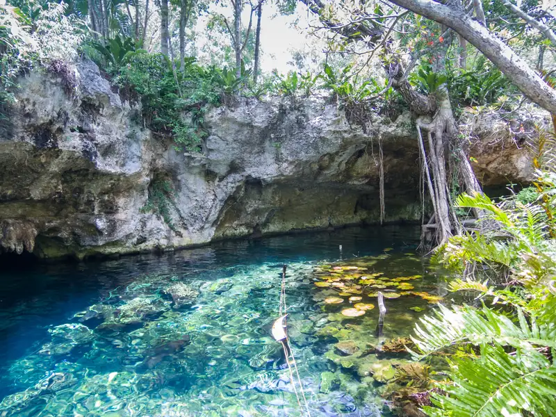
The cenotes around Tulum line three roads out of town. West on the Cobá road are Calavera, Gran Cenote, Carwash and Zacil-Ha, all within 10 km. North on Highway 307 are Caleta Tankah, Casa Cenote, Casa Tortuga and the Dos Ojos park, then Azul, Cristalino and Jardín del Edén about 40 km out. South on Highway 307 are Cristal, Escondido and Angelita. The map above plots each one, and the tables below give the road distance from the town centre.
Plan by road, not by cenote. Two cenotes on the same road are a 10-minute hop; two on different roads mean driving back through town.
All distances and times are by road from Tulum town centre, calculated with the OSRM routing engine on OpenStreetMap data in October 2026. They assume no traffic, so add 20 to 30 percent, and more where the last stretch is a dirt track.
Cobá road (Highway 109): west of town
The road to Cobá leaves town at the main junction and runs west through the jungle. The first four cenotes are close enough to cycle, and a crash at a cenote entrance on this road prompted an official warning about turning in and out of the driveways, so signal early.
Carwash and Zacil-Ha sit almost side by side. The three Cobá cenotes are past the Cobá ruins, so they make sense on the same day as the ruins, not on a cenote day from Tulum. The Tren Maya’s Tulum station is also off this side of town, about 1 km from Gran Cenote in a straight line.
Highway 307 north: towards Akumal and Playa del Carmen
Highway 307 is the main coast road. Colectivos run along it and drop passengers at cenote entrances on request.
| Cenote |
From town |
Drive |
Notes |
| Cenote Tankah (Caleta Tankah) |
5.7 km |
8 min |
Beach club with a cenote and an inlet |
| Casa Cenote |
10.8 km |
14 min |
Mangrove channel by the sea, Tankah Tres |
| Casa Tortuga |
13.7 km |
17 min |
Cenote park, several cenotes on one ticket |
| Nicte-Ha (Dos Ojos park) |
20.7 km |
23 min |
Open, lilies |
| Dos Ojos |
21.9 km |
28 min |
Cavern; to the water, not the gate |
| Taak Bi Ha (Dos Ojos park) |
22.3 km |
29 min |
Cave, guided |
| Sac Actun (tour site) |
24.9 km |
39 min |
Guided cavern tour |
| Cenote Cristalino |
39.5 km |
34 min |
Open |
| Cenote Azul |
39.7 km |
33 min |
Open, shallow pools |
| Jardín del Edén |
40.4 km |
36 min |
Open |
The Dos Ojos park gate is near the highway and the cenote is a few kilometres in on a dirt road, which is why the drive time jumps. Azul, Cristalino and Jardín del Edén are closer to Playa del Carmen than to Tulum; see cenotes near Playa del Carmen. Akumal sits between Dos Ojos and Azul.
Highway 307 south: towards the airport and Sian Ka’an
This is the road to Tulum airport, so Angelita and Kaan Luum fit a stop on the way in or out.
The coast
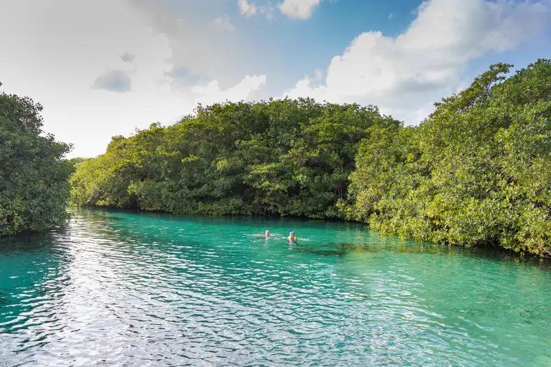
Two cenotes on the map reach the sea. Casa Cenote is a mangrove channel connected underground to the Caribbean, and Caleta Tankah has a rock inlet where fresh water meets salt. Both are reached from Highway 307 north (see the table above). On 12 May 2026 Casa Cenote’s resident crocodile bit a visitor; Tulum’s environment department talked of swimming limits, but we found no final rule by October 2026. The Tulum ruins and beaches are on the coast east of town, and the cenotes are unaffected by the sargassum that reaches those beaches (see Tulum sargassum).
The cave systems under the map
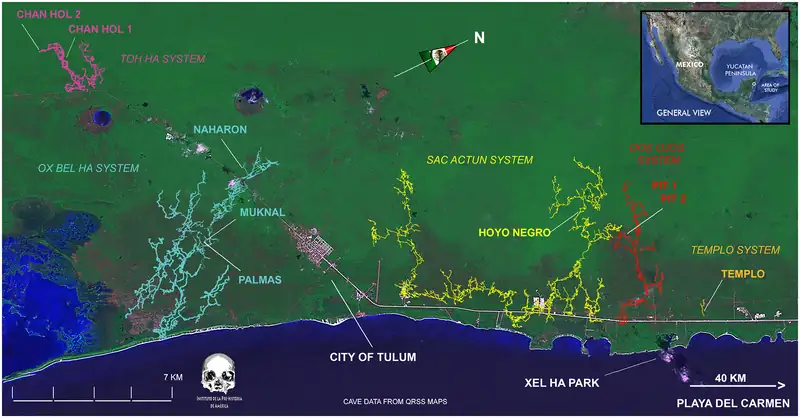
Many of these cenotes are windows into the same flooded caves. Gran Cenote is where exploration of Sac Actun began, and in January 2018 divers connected Sac Actun with the Dos Ojos system. Sac Actun was then the longest known underwater cave; since then Ox Bel Ha, south of Tulum, has been surveyed longer, at 541.7 km as of February 2026. The hero map above, from a 2020 study, shows both. Our Sac Actun guide and what is a cenote explain more.
Points we could not pin down exactly
OpenStreetMap and Wikidata are community data, and a few points disagree. We used the best match but flag them here.
- Angelita: two OpenStreetMap points 3.3 km apart. We used the one that matches Wikidata.
- Cristal and Escondido: several overlapping OpenStreetMap features, and Wikidata puts Cristal 1.3 km further west. We used the points that sit across the road from each other, as guides describe.
- Dos Ojos: the map shows the water. The ticket gate is nearer the highway. Wikidata’s own Dos Ojos point is wrong (it sits near the airport) and was not used.
- Sac Actun: the name covers a guided tour site near Dos Ojos and a whole cave system whose best-known entrance is Gran Cenote. The map pin is the tour site.
- Cenote Azul: Wikidata places it in the sea. We used OpenStreetMap.
- Sian Ka’an entrance: the OpenStreetMap point on the Boca Paila road is not confirmed as the gate.
One name is missing on purpose. The only Cenote Kin Ha in OpenStreetMap is on the Puerto Morelos cenote route, about 75 km north, so it is not a Tulum cenote and is not on this map.
Before you set off, check cenote entrance fees and carry pesos. Our guide to getting around Tulum covers bikes, colectivos and taxis to each road, and our tours page lists trips with pickup.