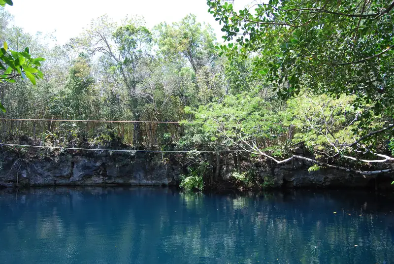
Cenote Angelita is a deep vertical cenote, about 60 m, beside Highway 307 about 16 km south of Tulum. Around 28 to 35 m down a cloud of hydrogen sulfide sits above the salt water, which gives it the 'underwater river' look divers come for. It is for scuba divers only, with a local guide and Advanced Open Water certification.
Cenote Angelita is a deep vertical cenote beside Highway 307, about 16 km south of Tulum on the way to Muyil. It is about 60 m deep, and at roughly 28 to 35 m a layer of hydrogen sulfide gas hangs above the salt water, so from above it looks like a river running along the bottom. Angelita is for scuba divers only, with a local guide; walk-in swimmers are not accepted. Operators ask for Advanced Open Water certification and recent dives.
Angelita is Spanish for “little angel”. Where the name comes from is not documented.
Cenote Angelita at a glance
Checked October 2026:
|
|
| Where |
Hwy 307, between Tulum and Muyil |
| Drive |
15.9 km, about 15 min (free-flow estimate) |
| Depth |
About 60 m |
| Sulfide cloud |
About 28 to 35 m, sitting on the salt layer |
| Guided dive limit |
About 30 to 33 m |
| Requirements |
Advanced Open Water, recent dives, local guide |
| Site fee |
Not published; about US$25 plus dive fees (one Oct 2026 guide) |
Fees for dive sites are even less settled than swim fees. The cenote entrance fees guide explains how to check.
What the dive is like
You descend through the fresh water at the top. Around 28 to 35 m you reach the cloud, a layer of hydrogen sulfide, and below it lies the denser salt water. The cloud is what gives Angelita its “underwater river” look.
Because the dive goes to about 30 m, it is a deep dive rather than a cavern dive. Operators keep guided dives to about 30 to 33 m and want proof of recent diving. Good buoyancy control matters more here than at the shallow cavern sites.
The halocline, explained
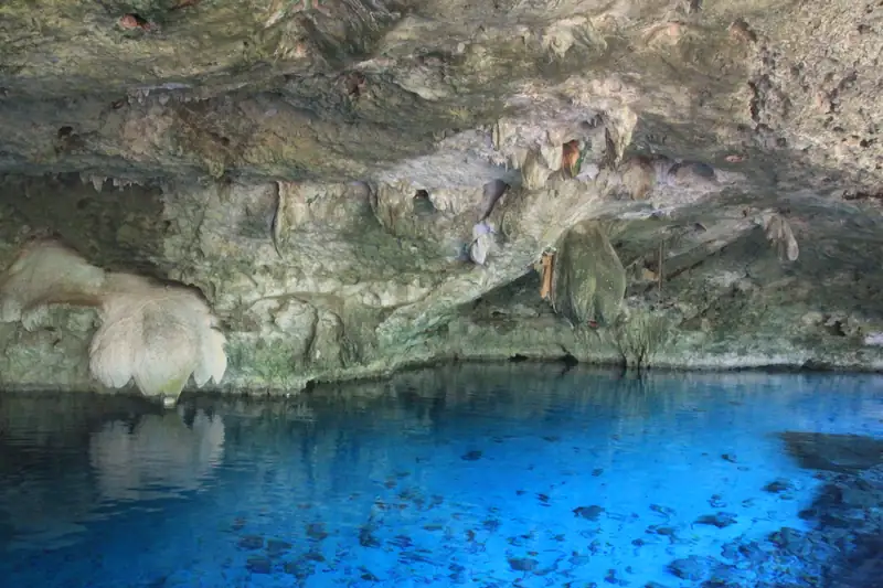
Rain on the Yucatán soaks through the limestone and floats on top of salt water that seeps in from the sea. The boundary between them is the halocline. Divers see it as a blurry, shimmering layer, and it is visible at several cenotes near Tulum. Near the coast it sits about 10 to 20 m below the water table; inland it is much deeper. At Angelita the hydrogen sulfide collects on top of that salt layer.
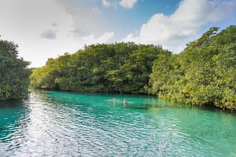
You can see a shallow halocline, at about 3 m, while snorkelling at Casa Cenote. The what is a cenote guide covers how the fresh and salt layers form.
How to dive Angelita
Book with a dive shop; a local guide is required. Some operators pair Angelita with Casa Cenote on the same day, and one operator’s listing sells exactly that combination. The cenote diving guide covers certification levels and how to choose an operator.
No GetYourGuide product we checked dives Angelita. The pick on this page is the closest match: a deep dive in The Pit at Dos Ojos, which also passes through a halocline and a hydrogen sulfide cloud, at 25 m.
Getting there
Drive south on Highway 307 toward Muyil and the Sian Ka’an reserve. The cenote is beside the highway. Coordinates differ between map sources, so follow your dive shop rather than a map pin. The Tulum cenote map shows the point we use, and the getting around Tulum guide covers driving south of town.
Tips
- Log a few recent dives before you book; operators ask.
- Bring your certification card.
- Do not swim here without a guide, even if the water looks calm from the top.
- Skip sunscreen before the dive, as at every cenote.
Cenotes near Angelita
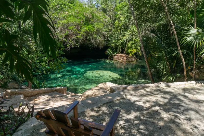
Cenote Cristal and Escondido are back toward Tulum on Highway 307 and are open to swimmers. Laguna Kaan Luum, a lagoon with a deep sinkhole in the middle, is on the same road. For dives north of town, see Dos Ojos. The where to stay in Tulum guide covers bases near the dive shops. Every cenote is on the Tulum cenote guide homepage, and tours are on the tours page.